
“The Making of Google Earth VR” by , Parker, Glazier, Podwal, Seegmiller, et al. …
Conference:
Type(s):
Entry Number: 63
Title:
- The Making of Google Earth VR
Presenter(s)/Author(s):
Abstract:
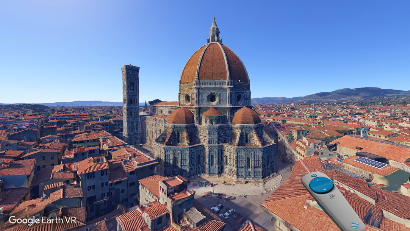
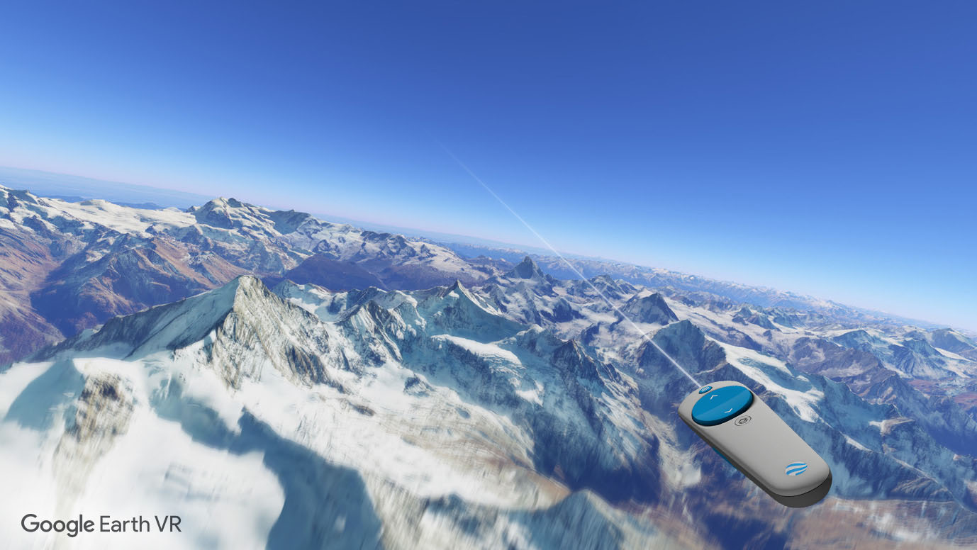
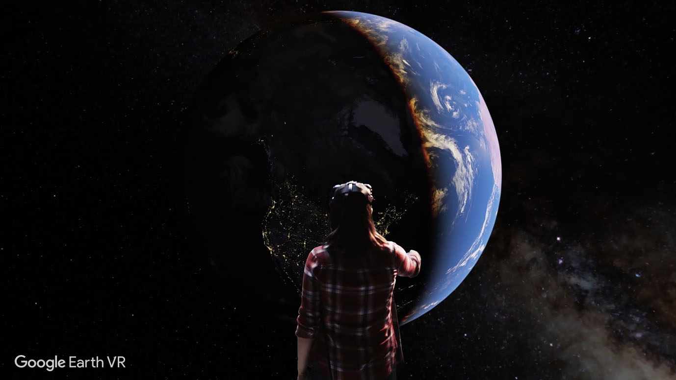
One of the great promises of virtual reality is that it can allow people to visit places in the world that they might otherwise be unable to. Since the recent renaissance of virtual reality, content creators have exercised various techniques such as 360-degree cameras and photogrammetry to make this promise come true.
At Google, we spent more than 10 years capturing every part of the world as part of the Google Earth project. The result is a rich 3D mesh that contains trillions of triangles [Kontkanen and Parker 2014] and as such is predestined to be a good data source for VR content. In [Kaeser and Buehlmann 2016] we discussed some of our early experiments with bringing Google Earth to virtual reality, but without a focus on developing a product. Following these experiments, we worked extensively to create a well-rounded product, Google Earth VR, which we eventually launched to the world in November 2016. Google Earth VR quickly became one of the most actively used VR applications in the market and has won several awards since.
This talk discusses the journey of the Google Earth VR project from its early prototypes to its final launched stage.
References:
Dominik Kaeser and Matthias Buehlmann. 2016. Bringing Google Earth to Virtual Reality. In ACM SIGGRAPH 2016 Talks. ACM, 44. Google ScholarDigital Library
Janne Kontkanen and Evan Parker. 2014. Earth in Google Maps: rendering trillions of triangles in JavaScript. In ACM SIGGRAPH 2014 Talks. ACM, 44.
Keyword(s):
Acknowledgements:
Google Earth VR stands on the shoulders of giants and is based on years of lessons learned in the Google Earth project. The algorithms are intimately tied to the serving infrastructure built by the backend teams. In short, every triangle the client renders is the result of many teams working on data acquisition, computer vision, system architecture, and pipeline maintenance. We want to particularly thank John Anderson and John Rohlf for their crucial rendering optimization work, and Marranda Pousard for her meticulous quality assurance.