
“Three dimensional Terrain modeling and display for environmental assessment” by Kaneda, Kato, Nakamae, Nishita, Tanaka, et al. …
Conference:
Type(s):
Title:
- Three dimensional Terrain modeling and display for environmental assessment
Presenter(s)/Author(s):
Abstract:
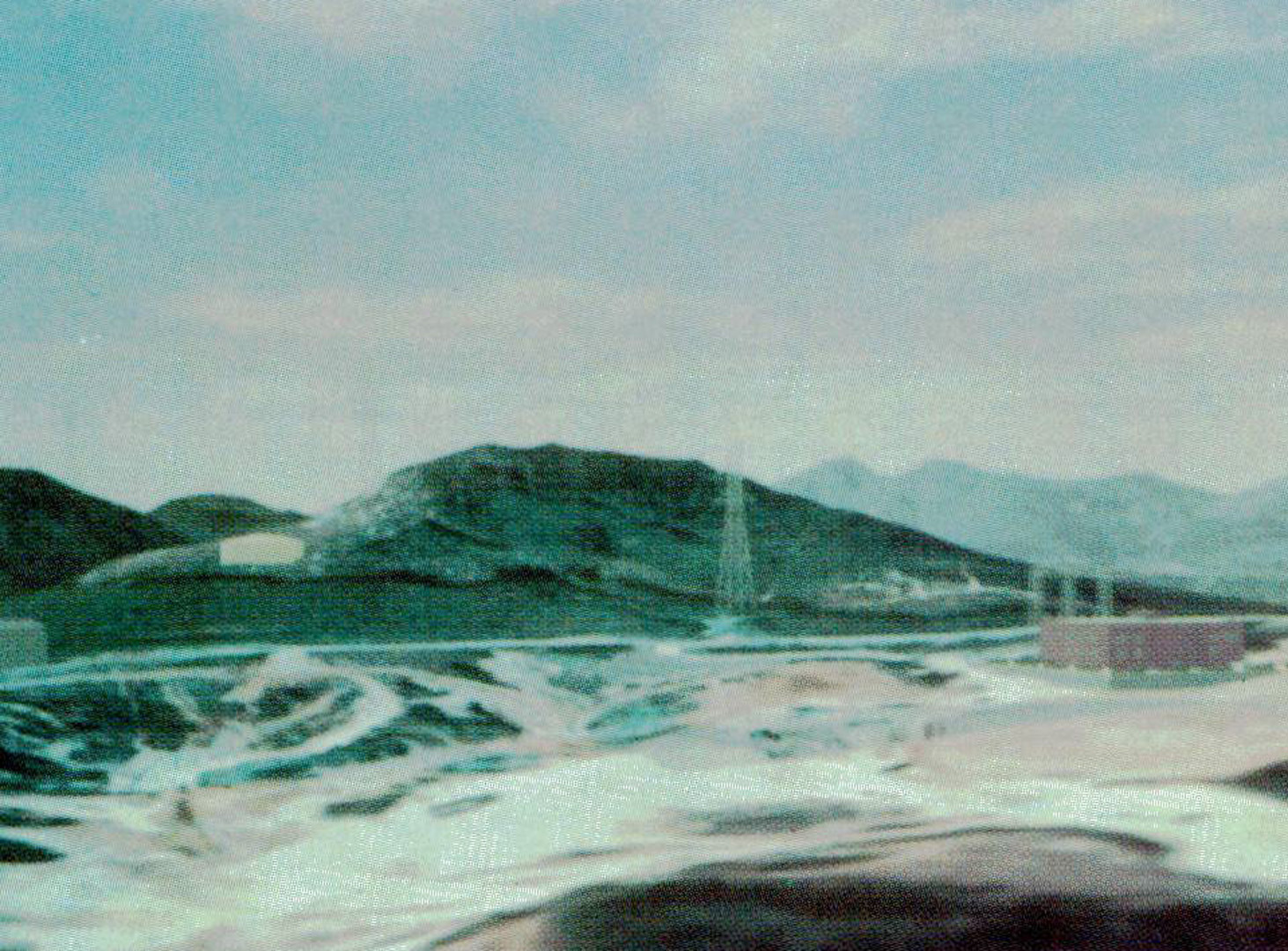
A technique for compositing computer generated images of buildings and background images created from aerial photographs is described. The aerial photo data are mapped onto a terrain model based on cartographic data. The technique can be used to pre-evaluate visual impact of large scale construction by means of not only still images but also animations.The technique can be briefly described as follows: 1) an accurate, three-dimensional terrain model is created based on cartographic data. 2) a hierarchy of aerial photo data at various resolutions is mapped onto the terrain model as a texture. 3) the height of trees is taken into account in regions near the viewpoint. 4) allowing intersections of terrain models with constructions facilitates geometric adjustments and shadowing.
References:
1. Agui, T., Miyata, K., and Nakajima, M. A Reconstructing Method of 3D Mountainous Shapes from Contours. Trans. IEICE J69-D, 12 (1986), 1905-1912, (in Japanese).
2. Christiansen, N. H. and Sederberg, T. W. Conversion of Complex Contour Line Definitions into Polygonal Element Mosaics. Computer Graphics 12, 3 (1978), 187- 192.
3. Crow, F. C. Shadow Algorithms for Computer Graphics. Computer Graphics 1I, 2 (1977), 242-247.
4. Feibush, E. A., Leroy, M., and Cook, R. L. Synthetic Texturing Using Digital Filters. Computer Graphics 14, 3 (1980), 294-301.
5. Gardner, G.Y. Simulation of Natural Scenes Using Textured Quadric Surfaces. Computer Graphics 18, 3 (1984), tt-t9.
6. Jet Propulsion Laboratory. Finale L. A.– The Movie. SIGGRAPH ’87 Film and Video Show (1987).
7. Marshall, R., Wilson, R., and Carlson, W. Procedure Models for Generating Three-Dimensional Terrain. Computer Graphics 14, 3 (1980), 154-162.
8. Miller, G. S. P. The Definition and Rendering of Terrain Maps. Computer Graphics 20, 4 (1986), 39-48.
9. Nakamae, E., Harada, K., Ishizaki, T., and Nishita, T. A Montage method: The Overlaying of the Computer Generated Images onto A Background Photograph. Computer Graphics 20, 4 (1986), 201-214.
10. Nakamae, E., Ishizaki, T., Nishita, T., and Takita, S. Compositing 3D Images with Antialiasing and Various Shading Effects. IEEE Computer Graphics ~ Applications 9, 2 (1989), 21-29.
11. Nishita, T., Okarnura, I., and Nakamae, E. Shading Models for Point and Linear Sources. A CM Transactions on Graphics 4, 2 (1985), 124-146.
12. Petrie, G. and Kennie, T. J. M. Terrain Modeling in Surveying and Civil engineering. Computer Aided Design 19, 4 (1987), 171-187.
13. Porter, T. and Duff, T. Composing Digital Images. Computer Graphics 18, 3 (1984), 253-259.
14. Rougelot, R. S. The General Electric Computed Color TV Display. Proceedings of the Second University of illinois Conference on Computer Graphics. in Part,neat Concepts in Computer Graphics. eds. Faiman, M. and Nievergelt, J. University of Illinois Press (1969), 261- 281.
15. Uno, S. and Matsuka, H. A General Purpose Graphic System for Computer Aided Design. Computer Graphics 13, 2 (:1.979), 25-232.
16. Williams, L. Pyramidal Par~metrics. Computer Graphics 17, 3 (1983), 1-11.