
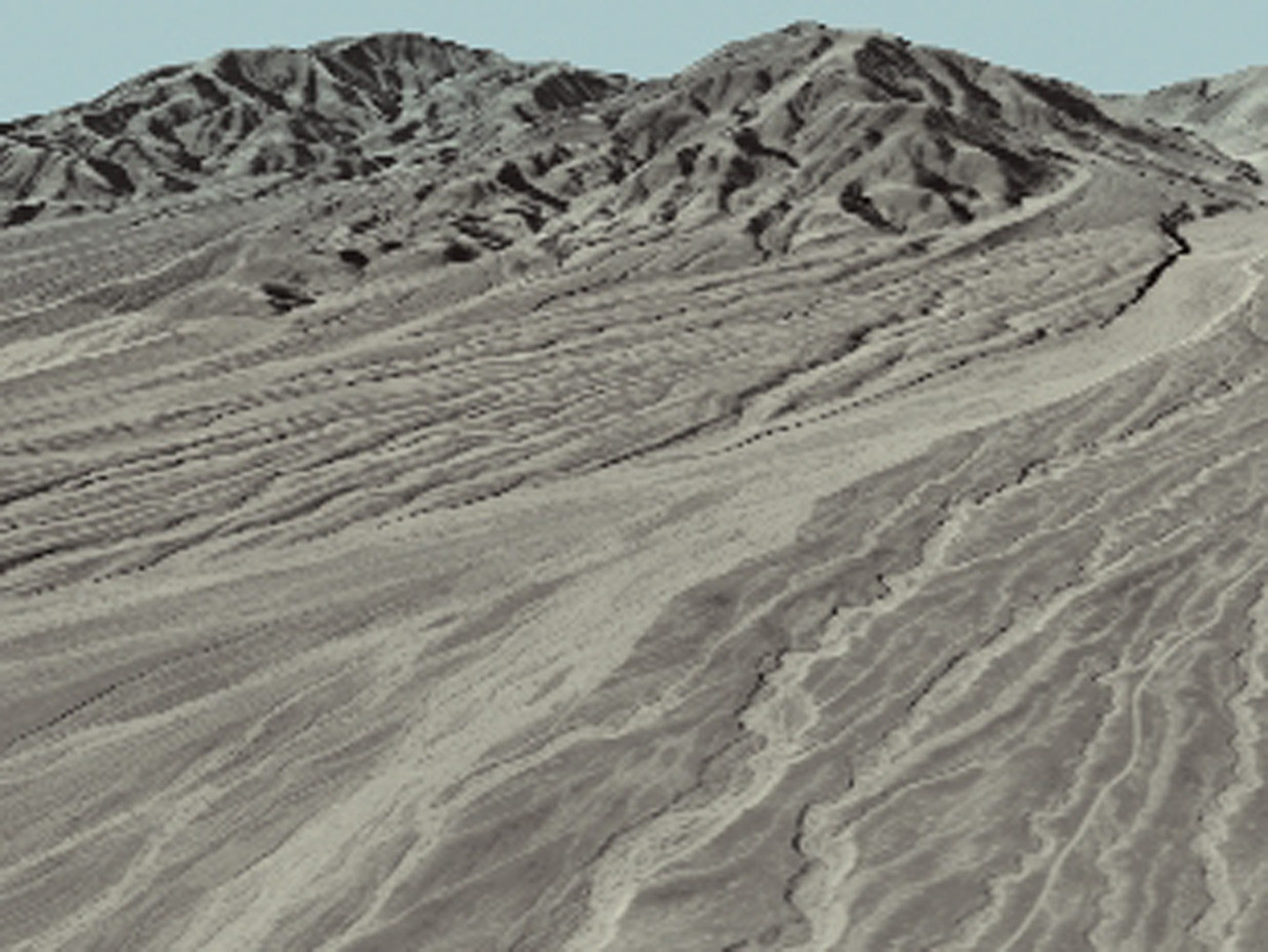
“Death Valley Flyby: A Simulation Comparing Fault-Controlled Alluvial Fans Along the Black Mountain Range” by Seligo and Weiland
Conference:
Type:
Interest Area:
- Production & Animation
Title:
- Death Valley Flyby: A Simulation Comparing Fault-Controlled Alluvial Fans Along the Black Mountain Range
Session/Category Title: Visualization
Presenter(s)/Author(s):
Abstract:
This animation sketch presents how public US Geological Survey (USGS) data can be used to simulate complex geological phenomena for an undergraduate seminar. Our simulated flyby over Death Valley was sufficiently accurate and detailed to represent not only major fault-controlled deformations, but even the sparse vegetation along alluvial fans and evidence of recent seismic activity that was not yet eroded by flash flooding. Finding and downloading data of sufficient resolution, correctly registering 2D images on 3D elevations, and stitching together the quadrangles covered in the flight path proved challenging in a computing environment that was not dedicated to this task. Nonetheless, now that we have solved these problems, we hope the procedure might be more generally applied to rendering geological formations of any site for which similar data are available.