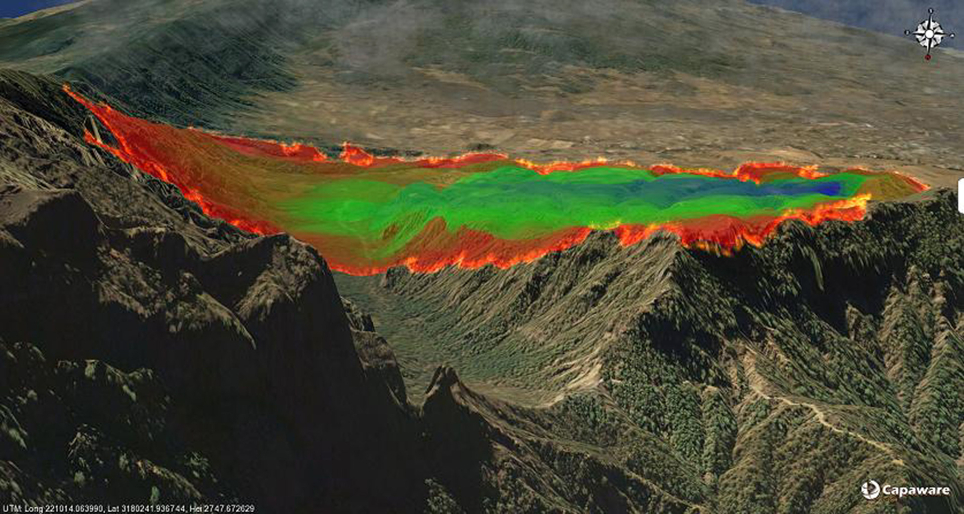
“Wildfire forecasting using an open source 3D multilayer geographical framework” by Castrillón, Jorge, Macías, Sánchez, Sánchez, et al. …
Conference:
Type(s):
Talk Type(s):
Title:
- Wildfire forecasting using an open source 3D multilayer geographical framework
Session/Category Title:
- Doing It With Game Engines
Presenter(s)/Author(s):
Abstract:
This abstract describes the development of a wildfire forecasting plugin using Capaware. Capaware is designed as an easy to use open source framework to develop 3D graphics applications over large geographic areas offering high performance 3D visualization and powerful interaction tools for the Geographic Information Systems (GIS) community. Some other samples addressing this problem can be found in [Sherman et al. 2007] and [Thon et al. 2007].
References:
1. Sherman, W., Penick, M., Su, S., Brown, T., and Harris, F. 2007. Vrfire: an immersive visualization experience for wildfire spread analysis. In Proceedings of IEEE Virtual Reality Conference, 243–246.
2. Thon, S., Remy, E., Raffin, R., and Gesquire, G. 2007. Combining gis and forest fire simulation in a virtual reality environment for environmental management. In ACE: Architecture, City and Environment, vol. 2, 741–748.


