“Visualizing empires decline” by Machado and Miguel Cruz

Conference:
Type(s):
Title:
- Visualizing empires decline
Presenter(s)/Author(s):
Abstract:
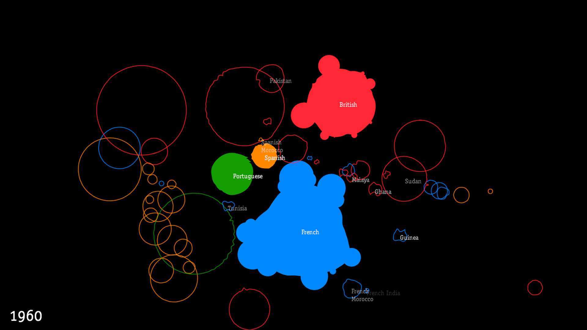
This is an information visualization project that narrates the decline of the British, French, Portuguese and Spanish empires during the 19th and 20th centuries. These empires were the main maritime empires in terms of land area during the referred centuries [Wikipedia]. The land area of the empires and its former colonies is continuously represented in the simulation. The size of the empires varies during the simulation as they gain, or lose, territories. The graphic representation forms were selected to attain a narrative that depicts the volatility, instability and dynamics of the expansion and decline of the empires. Furthermore, the graphic representation also aims at emphasizing the contrast between their maximum and current size, and portraying the contemporary heritage and legacy of the empires.
References:
1. Jakobsen, T. Advanced Character Physics. http://www.teknikus.dk/tj/gdc2001.htm.
2. Schmidt, K. toxiclibs. http://code.google.com/p/toxiclibs.
3. Wikipedia. List of largest empires. http://en.wikipedia.org/wiki/List_of_largest_empires.
Additional Images: