
“The Earth Navigation Modeling On Desktop VR” by Kim
Conference:
Type(s):
Title:
- The Earth Navigation Modeling On Desktop VR
Presenter(s)/Author(s):
Entry Number:
- 077
Abstract:
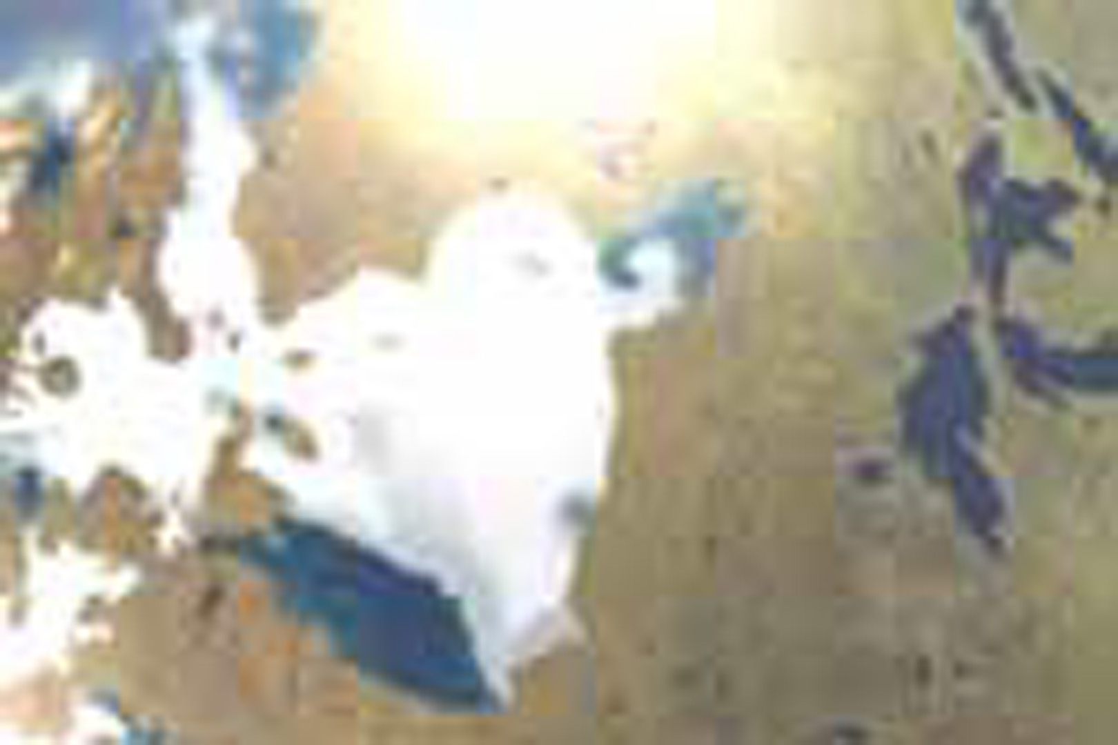
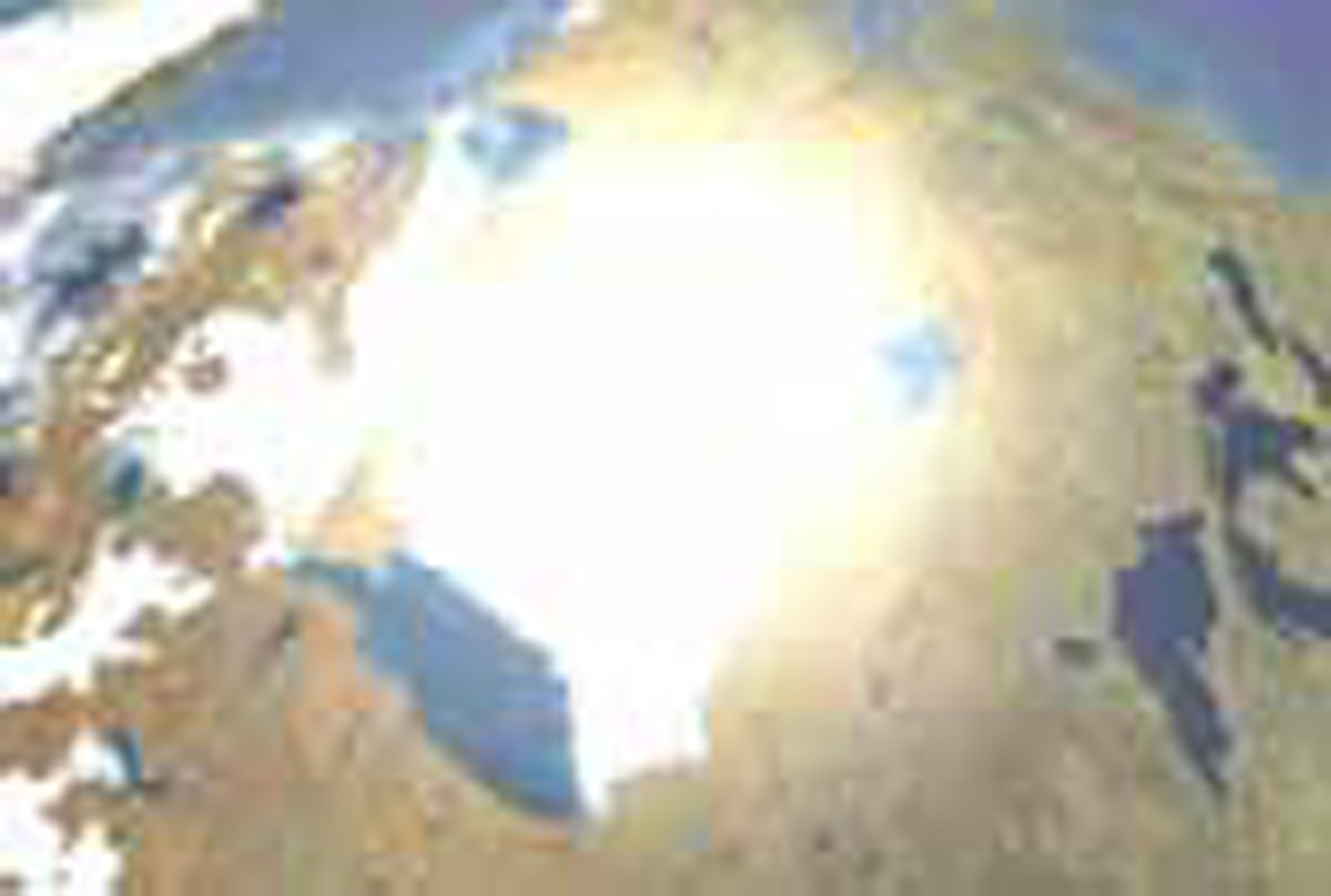
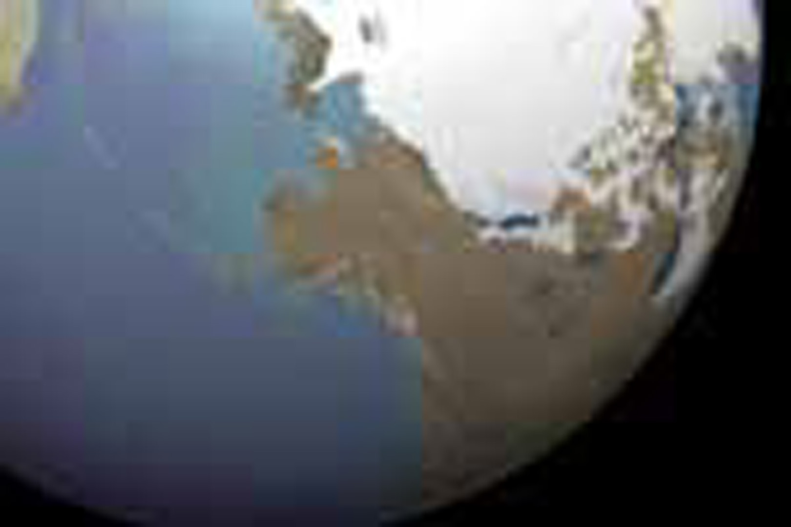
Recently, the interactive 3D graphic authoring environment is being rapidly established according as the computer execution speed become fast enough to support applications for real-time 3D graphics on desktop PC hardware fundamentals. A user’s navigation in a virtual space is a complicate perceptual process and must be precisely designed. In this study, the most appropriate and simplest form of navigation environment was modeled for the earth terrain model in an interactive 3D environment. The viewpoints were classified into Spatial-, Aerial-, and Ground-Views , respectively, and so far navigation models, suitable for Spatial-, and Aerial-Views, were developed.
Acknowledgements:
– The terrain image used for mapping the earth model is an open source image from 3D Studio Max.
– This work was supported by Korea Research Foundation, Grant No. KRF-2003-041-G00045.