
“Improved Geo-Visualization Methods” by Royan, Aubault, Bouville and Gioia
Conference:
Type(s):
Entry Number: 029
Title:
- Improved Geo-Visualization Methods
Presenter(s)/Author(s):
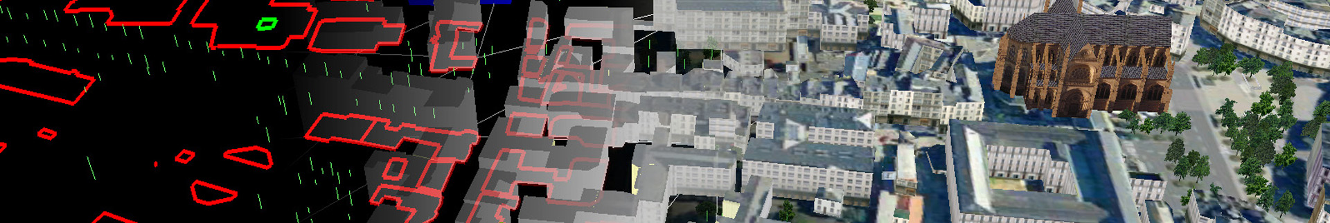
Abstract:
The modeling and visualization of large realistic 3D terrain and city models has received significant attention over the last few years. However, the recent progress in 3D data capturing has generated very huge and complex 3D models. This poster presents new methods for geovisualization based on multi-resolution representations of different objects (terrain, buildings, vegetation, etc). Thanks to the proposed scalable and compressed representations, web-based visualization of very large and complex models can now be contemplated. The difficult case of cities flying over is dealt with through a new hierarchical LOD representation covering the entire urban area.
References:
1. Gioia, P., Aubault, O., and Bouville, C. 2004. Real-time reconstruction of wavelet encoded meshes for view-dependent transmission and visualization. IEEE Transactions on Circuits and Systems for Video Technology 14, 7 (July).
2. Royan, J., Bouville, C., and Gioia, P. 2003. Pbtree: A new progressive and hierarchical representation for network-based navigation in urban environments. In Vision Modeling and Visualization.