
“Cartographic data structures: alternatives for geographic information systems” by Dueker
Conference:
Type(s):
Title:
- Cartographic data structures: alternatives for geographic information systems
Presenter(s)/Author(s):
Abstract:
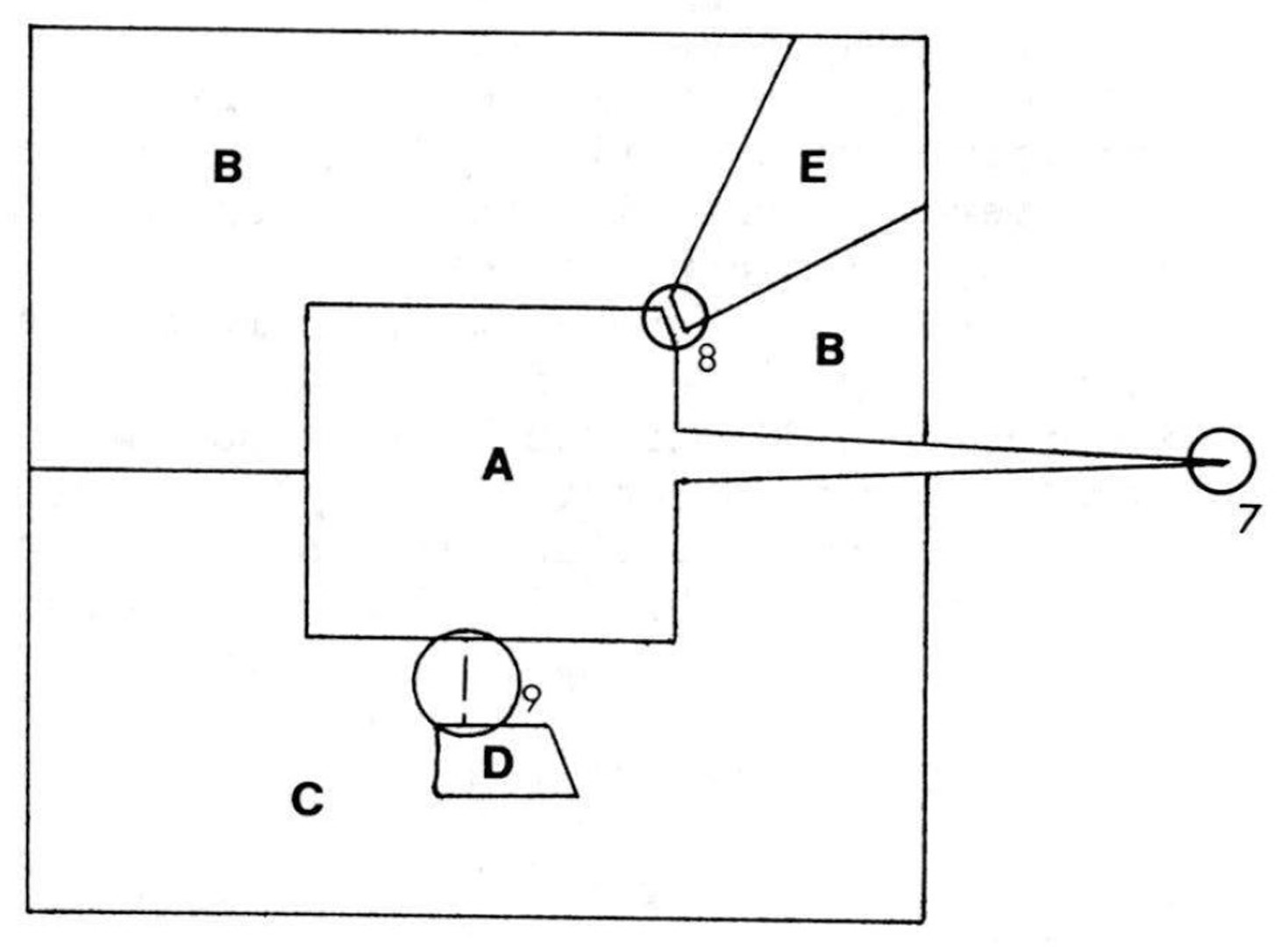
Means of capturing and encoding cartographic data for machine processing is a major issue in the design and the development of geographic information systems. The available and potential technology constitutes a bewildering array of choices for system designers from which to select formats and processing capabilities to meet user applications. Designers are not provided a very precise statement of data requirements (or fidelity requirements for the data capture and processing system); therefore, the tolerable distortion rates and tolerable information losses are not well expressed so as to assess coding efficiencies. Nor is there substantial agreement as to the appropriate breadth of comparative tests, as some systems can replicate coverages well for cartographic purposes, while other systems may provide stronger analytical capabilities for processing encoded geographic data.One of the major problems in encoding cartographic data is the lack of measures by which to assess the effectiveness of the coding. One set of effectiveness measures relates to the ability to replicate the source document in map form, while a second set of effectiveness measures relates to the use of the map or coverage data. There are a number of effectiveness measures that need developing in order to compare and test the effectiveness of alternative system approaches. A source document constructed to possess features that will test the effectiveness of alternative systems fairly and equitably needs development. This would result in the ability to establish benchmark tests by which systems could be compared.
References:
1. Michael F. Goodchild, Error estimation for geographic data structures, Department of Geography, University of Western Ontario, 1974.Google Scholar
2. R. L. Shelton and Ta Liang, Land inventory systems: The Cornell experience, Ithaca: Cornell University, 1973.Google Scholar
3. Land management information in Minnesota: The beginning of a statewide system, Minneapolis: Center for Urban and Regional Affairs, University of Minnesota and Saint Paul: Minnesota State Planning Agency, 1972.Google Scholar
4. Azriel Rosenfeld, Picture processing by computer, New York: Academic Press, 1969.Google Scholar
5. Michael F. Goodchild, PLUS: Technical user’s guide, London, Ontario: Department of Geography, University of Western Ontario, 1974.Google Scholar
6. R. F. Tomlinson, An introduction to the geographic information system of Canada land inventory, Geographic Information Systems ASP-ACSM Annual Convention, Washington, D.C., 1967.Google Scholar
7. R. C. Durfee, ORRMIS Oak Ridge regional modeling information systems, Oak Ridge, Tennessee: Oak Ridge National Laboratory, ORNL-NSF-EP-73, 1974.Google Scholar