
“A system for interactive acquisition and administration of geometric data for thematic map production” by Tuerke
Conference:
Type(s):
Title:
- A system for interactive acquisition and administration of geometric data for thematic map production
Presenter(s)/Author(s):
Abstract:
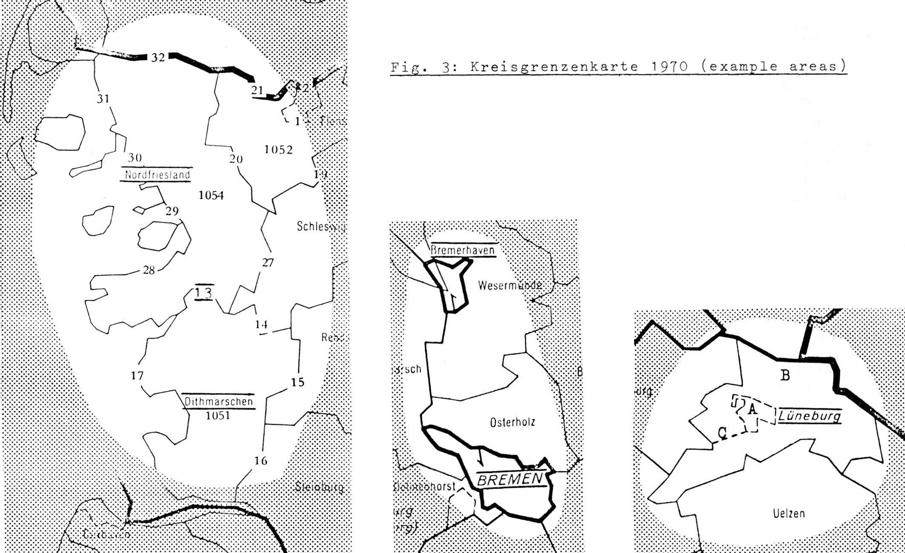
Most computer assisted information systems for planning purposes are designed to produce thematic maps as output. Graphic data processing, on the other hand, has not yet reached the degree of perfection already achieved in other fields of EDP, e.g. commercial and statistical applications. The author and his collegues are integrating cartographic data and presentation techniques gradually into an information system.Within the system being described, the geometric data base is considered as a line network. The edges of the network are represented by strings of orthogonal coordinates (Segment definitions). A unique identifier is assigned to each coordinate string, and the areal units are defined by a sequence of edge identifiers (Polygon definitions).In order to obtain error-free files, strict rules have to be observed and a high degree of accuracy has to be achieved.For this purpose, an interactive system – DIGNET – has been developed to fullfill these objectives: (1) guide the operator through the digitizing session, (2) ask for the appropriate input, (3) create the reference tables, (4) react to erroneous input and operation, (5) detect digitizer malfunctions, (6) allow immediate graphic replay of the digitized data.In order to facilitate the manipulation of the boundary network files, a number of utility programs have been added to the DIGNET-System; among them (1) DIGEDI – to prepare maps for digitzing, (2) DIGLIST – to list all results from digitizing sessions, (3) DIGMERGE – to merge two or more submaps into one final map.
References:
1. Bertin, J.: Semiologie Graphique (Graphic Semiology) Paris 1967 (German translation: Graphische Semiologie. Berlin 1974).Google Scholar
2. Boyle, A. R.: Automation in Hydrographic Charting. In: Can. Surveyor, Vol. 24, 1970, 5.Google Scholar
3. Ganser, K.: Die Aufgabe der thematischen Karte im Informationssystem Raumentwicklung. (The use of the Thematic Map in the Information System for Spatial Development) In: Kartographische Nachrichten 5/1974.Google Scholar
4. Gould, P. and R. White: Mental Maps. Harmondsworth: Penguin 1974.Google Scholar
5. Hessdorfer, R.: On CAMS, A Computer Augmented Mapping System for the Production of Thematic Maps. Paper presented to SIGGRAPH 1975.Google Scholar
6. Peucker, T. K. and N. Chrisman: Cartographic Data Structures. In: Am. Cart. Vol. 2, 1975, 1.Google Scholar
7. Rase, W. D.:Bereitstellung der geometrischen Grundlagen fur die computer-unterstutzte Zeichnung thematischer Karten (Preparation of the geometrical data base for the computer-aided drawing of thematic maps). In: Kartographische Nachrichten 2/1975Google Scholar
8. Tuerke, K.: Computer Aided Digitizing of Boundary Networks. In: Automation in Cartography. Paper presented at Commission III of ICA session at Enschede, The Netherlands, April 1975Google Scholar