“Collaborative Terrain Editor With Augmented Reality” by Dávalos, Chapa and Santiago


Notice: Pod Template PHP code has been deprecated, please use WP Templates instead of embedding PHP. has been deprecated since Pods version 2.3 with no alternative available. in /data/siggraph/websites/history/wp-content/plugins/pods/includes/general.php on line 518
  • ©Andrés Cortés Dávalos, Sonia Guadalupe Mendoza Chapa, and Sandra Díaz Santiago

Conference:


  • SIGGRAPH 2014
  • More from SIGGRAPH 2014:
    Notice: Array to string conversion in /data/siggraph/websites/history/wp-content/plugins/siggraph-archive-plugin/src/next_previous/source.php on line 345
     
    Notice: Array to string conversion in /data/siggraph/websites/history/wp-content/plugins/siggraph-archive-plugin/src/next_previous/source.php on line 345

Type(s):


Title:


    Collaborative Terrain Editor With Augmented Reality

Developer(s):


Project Affiliation:


    Cinvestav

Description:


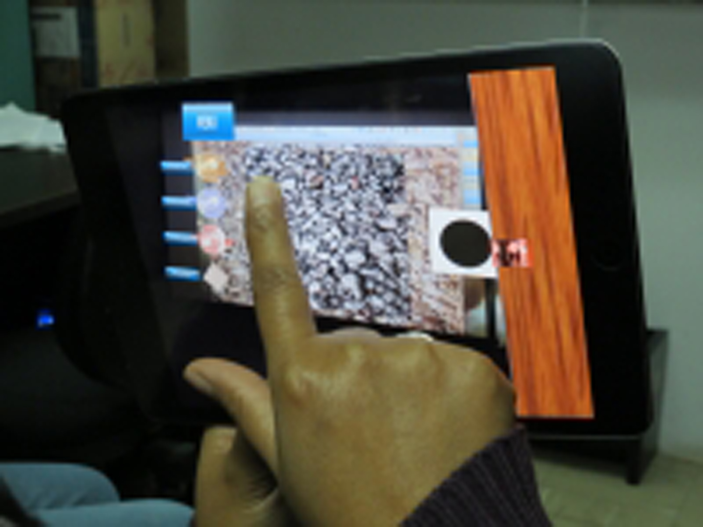
    This novel mobile collaborative app edits a digital elevation map (3D terrain) using augmented reality.

Overview Page: