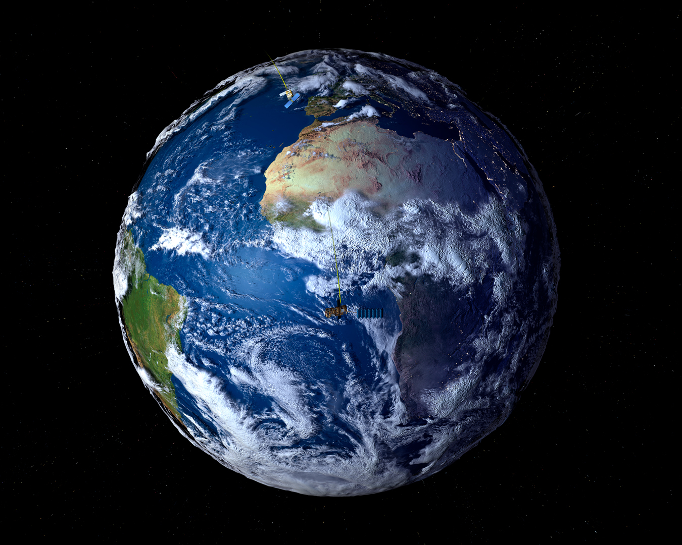
“The Elbe Flood” by German Aerospace Center
Conference:
- SIGGRAPH 2005 More animation videos from SIGGRAPH 2005:


SIGGRAPH Video Review:
Track:
- 08
Title:
- The Elbe Flood
Length:
- 6:00
Director(s):
Company / Institution / Agency:
- German Aerospace Center
Description:
In August 2002, Europe experienced the worst flooding in more than a century. A particular weather situation led to extreme rainfall and floods that killed over 100 people and forced tens of thousands to leave their homes. For damage assessment and coordination purposes, disaster organizations needed fast access to up-to-date geo-data. Due to the extent of the disaster and the weather condi-tions, only satellites were able to provide the required images.
This animation was produced on behalf of the European Space Agency to illustrate the benefit of remote-sensing techniques in catastrophes. The intent was to explain the uncommon weather situation and the potential of remote-sensing satellites to the general public. For this purpose, data from 10 different optical and radar satellites had to be geo-referenced and enhanced before integration. Even the digital elevation models were generated from satellite data. Special interpolation algorithms were used to increase the repetition rate of a meteorological time series from two to 10 frames per hour. The animation was realized as a stereoscopic production to provide real three-dimensional perception, so the producers had to find a way to add spatial depth to a primarily flat incident.
Hardware:
1 Dual Pentium 2 GHz, 1.5 GB RAM, 5 Dual Pentium 700-933 GHz, 512 MB RAM, Yello Springtime V2, IDL, Terascan (Seaspace Corp.)
Software:
Erdas Imagine 8.6, 3ds Max 6, Combustion 2, Edit, Adobe Photoshop 7
Additional Contributors:
Directors: Nils Sparwasser, Robert Meisner, German Aerospace Center
Producer: Nils Sparwasser
CONTRIBUTORS
German Aerospace Center: Christian Gredel, Adelheid Craubner, Thomas Ruppert, Robert Meisner
Text: Adam Majorosi


