
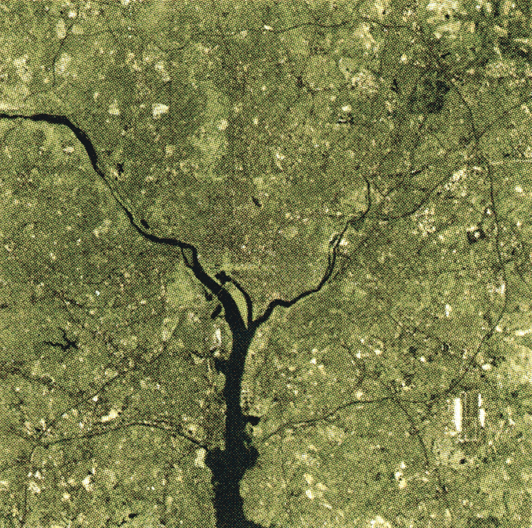
“Capitol Zoom” by NASA Scientific Visualization Studio
Conference:
- SIGGRAPH 2001 More animation videos from SIGGRAPH 2001:


SIGGRAPH Video Review:
Track:
- 18
Title:
- Capitol Zoom
Length:
- 1:45
Director(s):
Company / Institution / Agency:
- NASA Scientific Visualization Studio
Description:
“Capitol Zoom” is a seamless, cloudless, zoom from a global view to the nation’s capitol. It is composed entirely of real earthobserving satellite data: IKONOS one-meter data, Landsat? 15/30-meter data, Terra/MODIS 250-meter data, and Terra/ MODIS eight-kilometer data. The visualization first zooms in seamlessly, then zooms out showing where the dataset layers reside. This vizualization was created using Maya for motion control, Render Man for rendering, IDL for pre-processing of the data, Imagine for image registration, and Photoshop for color matching.
Software:
Maya, Render Man, IDL, Imagine, Photoshop
Additional Contributors:
Producer: NASA/GSFC – SCIENTIFIC VISUALIZATION STUDIO
Contributors: GREGORY W. SHIRAH, HORACE G. MITCHELL, MARTE NEWCOMBE, MICHAEL MANGOS, JAMES W. WILLIAMS, ALEX KEKESI, STUART SNODGRASS