“Interactive augmented modeling and rendering of complex typed multiple geo-features in mobile 3D environment” by Lee
Conference:
Type(s):
Title:
- Interactive augmented modeling and rendering of complex typed multiple geo-features in mobile 3D environment
Presenter(s)/Author(s):
Abstract:
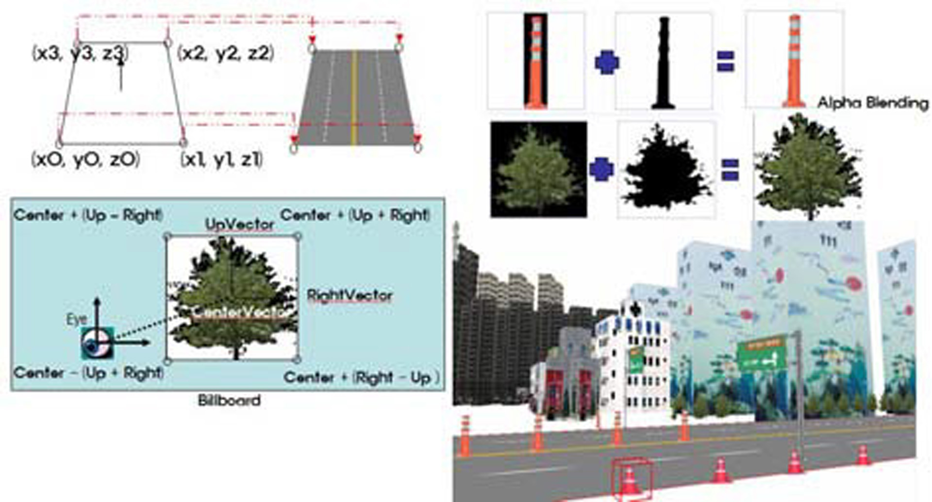
With user friendly interface, the efficient authoring and rendering system for actual 3D geospatial data has been required in the various domains such as LBS (Location-based Services), Telematics, and multi-sensor urban engineering, as well as most conventional GIS (Geographic Information Systems) applications. For this purpose, it might be implemented using GIS-based photogrammetric techniques related to 3D data acquisition and 3D computer graphics for visualization. Although they are still developing stage, database issues for storage and management of 3D topological geometry data and its attributes are related to 3D GIS. For 3D modeling, conventional GIS data sources such as LIDAR and remotely sensed image has been studied and the studies related to database schema for 3D urban modeling also carried out. However, most previous studies for 3D GIS modeling and rendering of geo-based spatial features has been available in the platforms of desktop or stand-alone system and web-based system. In the stand-alone platform, 3D modeling and rendering can be regarded as data production and visualization, as basic functions in a conventional GIS. While, in the case of web-based 3D graphic modeling system, Geo-VRML (Virtual Reality Modeling Language) or X3D (Extensible 3D) can be utilized.
Additional Images:
-
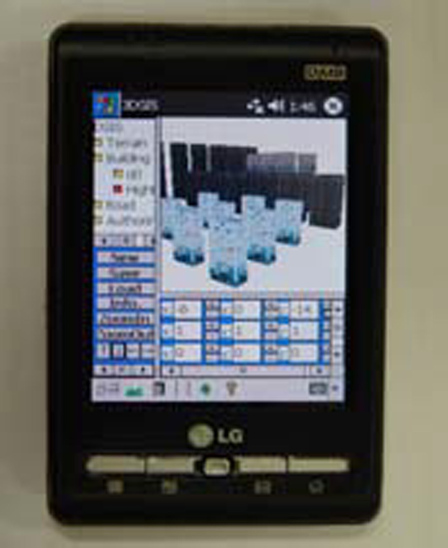
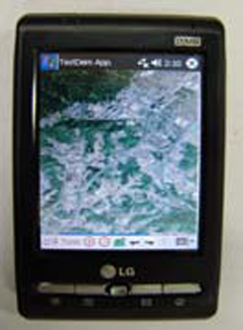
- 2006 Poster: Lee_Interactive Augmented Modeling and Rendering of Complex Typed Multiple Geo-Features in Mobile 3D Environment
-
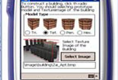
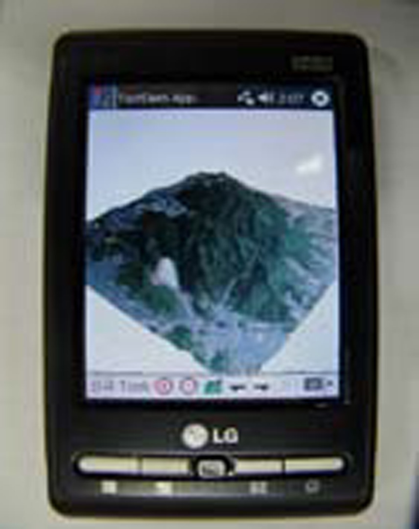
- 2006 Poster: Lee_Interactive Augmented Modeling and Rendering of Complex Typed Multiple Geo-Features in Mobile 3D Environment
-
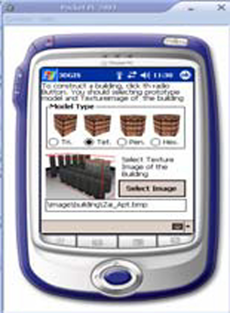
- 2006 Poster: Lee_Interactive Augmented Modeling and Rendering of Complex Typed Multiple Geo-Features in Mobile 3D Environment