“Ways of structuring data within a digital cartographic data base” by Edson and Lee
Conference:
Type(s):
Title:
- Ways of structuring data within a digital cartographic data base
Presenter(s)/Author(s):
Abstract:
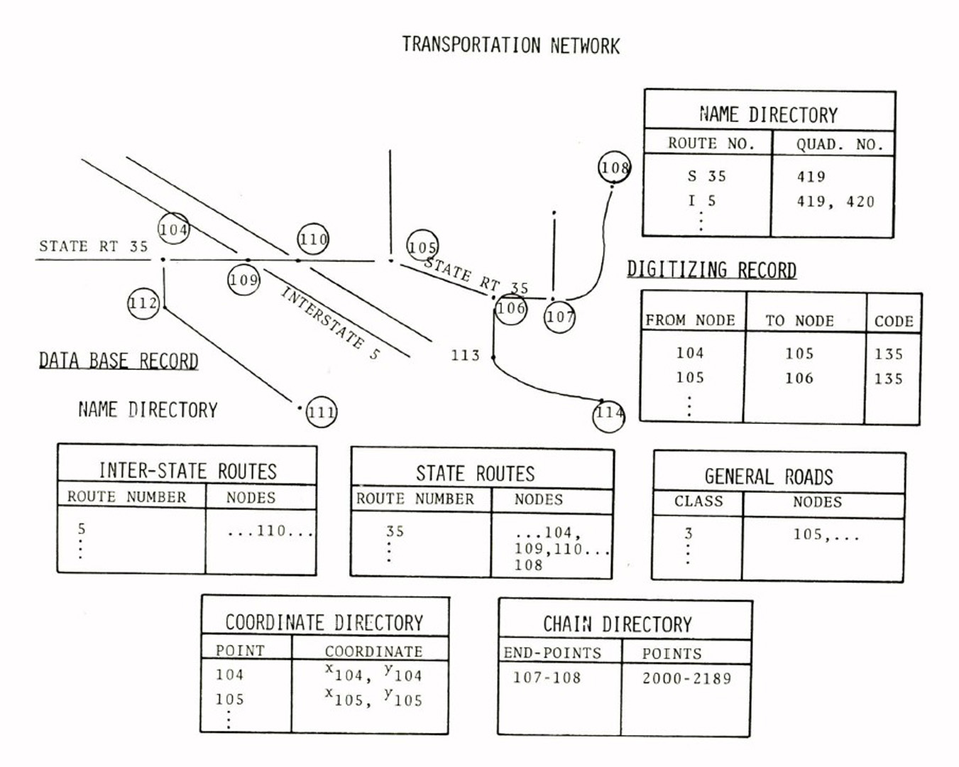
The National Mapping Program includes the activities for providing basic map data and a family of general-purpose maps. The U.S. Geological Survey is developing a Digital Cartographic Data Base (DCDB) within the National Mapping Program to include such features and reference systems as the public land survey network, State and county boundaries, transportation systems, and hydrography. Although the public land survey network is administered by the Bureau of Land Management, it is included as a DCDB component because of its relationship to almost all cultural development beyond the thirteen original States. Such data included in DCDB have no legal status and are intended for display and map reference only. The interrelationship of these categories, particularly of the first three, requires care in structuring the digitized data so that valuable time is not wasted in producing cartographic spaghetti. This paper presents some ideas about structuring the components of DCDB.
References:
1. Departmental Manual, Department of the Interior, March 30, 1976.
2. Data Access Descriptions, 1970 Census Geography: Concepts, Products, and Programs, U.S. Department of Commerce, Bureau of the Census, DAD No. 33 (Series CG-3), August 1973.
3. Digital Cartographic Data Base–Preliminary Description, Office of Research and Technical Standards, Digital Applications Team, U.S. Geological Survey, Reston. July 1975.
4. Edson, Dean T., Lee, George Y. G., Land-line Survey Data Within a Digital Cartographic Data Base, in Proceedings of the 37th Annual Meeting, American Congress on Surveying and Mapping, March 1977.


