“The interactive digitizing of polygons and the processing of polygons in a relational database” by McIntosh
Conference:
Type(s):
Title:
- The interactive digitizing of polygons and the processing of polygons in a relational database
Presenter(s)/Author(s):
Abstract:
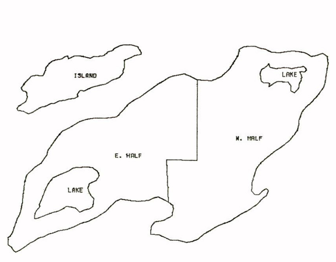
A system is described for the interactive digitizing of polygons for such two-dimensional spatial modeling applications as growth studies and thematic map production. A digitizer connected online to a mini-computer with a refresh display is used for capturing polygon data from source documents. An area boundary network is developed by digitizing nodes, pointing to node pairs, and then digitizing edges only once. A CRT display monitors, and bell-rings confirm input operations. Facilities to erase nodes or edges are available. From the nodes and edges, software produces polygons which the user may name or discard. Slivering and overlap are eliminated because contiguous polygons have identical edge descriptions. Named polygons are then transferred to a large university time-sharing computer where spatial editing operations may be carried out, such as unioning pieces of a large map. The named polygons may he given additional non-spatial attributes and entered into a relational type of data base.
References:
1. Dueker, Kenneth J., “Cartographic Data Structures: Alternatives for Geographic Information Systems”, Proceedings of the Third Annual Conference on Computer Graphics, Interactive Techniques, and Image Processing SIGGRAPH ’76, Vol. 10, No. 1, July 1976, pp. 167-172.
2. Turner, James A., Two-Dimensional Polygon Routines: Programmer’s Manual, Architectural Research Laboratory, The University of Michigan, Ann Arbor, Michigan, 1976.
3. Tuerke, Klaus, “A System for Interactive Acquisition and Administration of Geometric Data for Thematic Map Production”, SIGGRAPH ’76, Vol. 10, No. 1, July 1976, pp. 154-162.
4. Date, C.J., An Introduction to Database Systems, Addison-Wesley, Reading Mass., 1975.


